
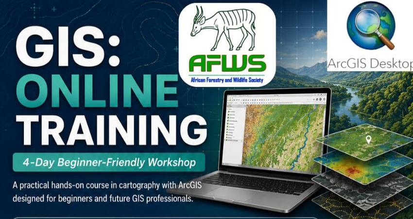
The African Forestry and Wildlife Society (AFWS) is organizing a 4-day online training on Mapping with ArcGIS 10.5 from 6 to 9 October 2026.
If you’re interested in learning how to use ArcGIS for mapping your fieldwork or professional work, join our low-cost practical online workshop and learn cartography—from GPS waypoints to study-area maps, sampling maps, and heat maps.
Program Details
 Date: September 28 – October 1, 2026
 Platform: Zoom
 Target: Students, Researchers & Professionals
 Registration fee: 5,000 XAF / 10 USD
What You Will Learn
Day 1: Creating shapefiles from GPS waypoints;
Day 2: Elaboration of location maps of the study area;
Days 3–4: Elaboration of the sampling plan and heat maps.
Participants should have a reliable laptop/computer with adequate processing capacity, RAM, storage, and a compatible Windows system. AFWS also plans future training on Kobo Collect (data collection) and RStudio (data analysis).
The training will emphasize hands-on learning and practical cartographic skills that participants can directly apply to their own datasets and research projects.
This is a low-cost training program. The registration fee is kept to a minimum and is only meant to help cover basic logistical and organizational costs of the workshop.
There is no expensive training package!
